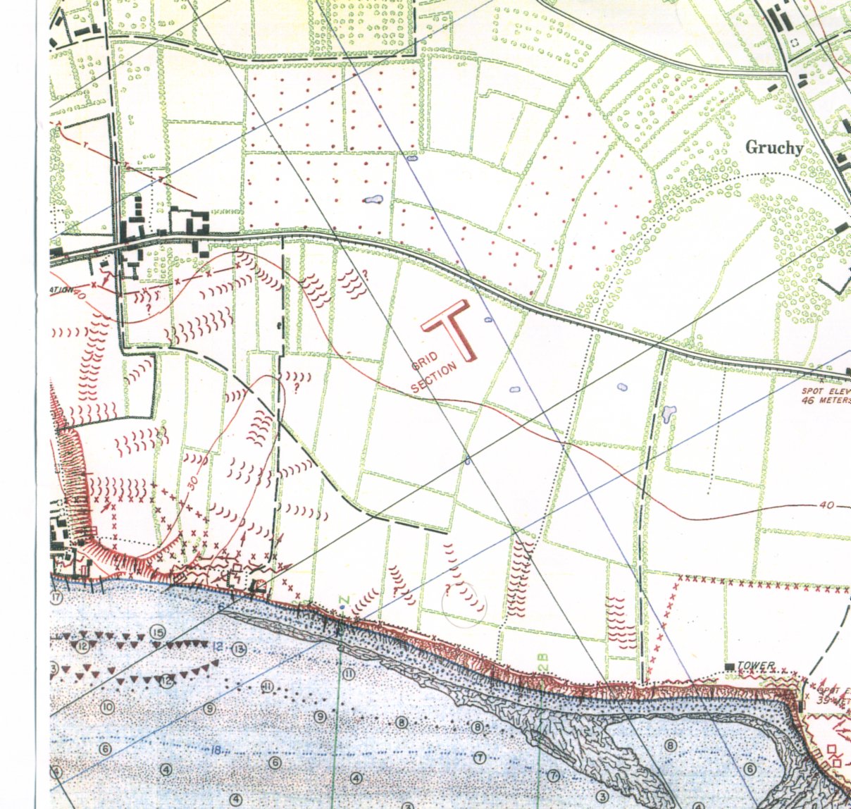
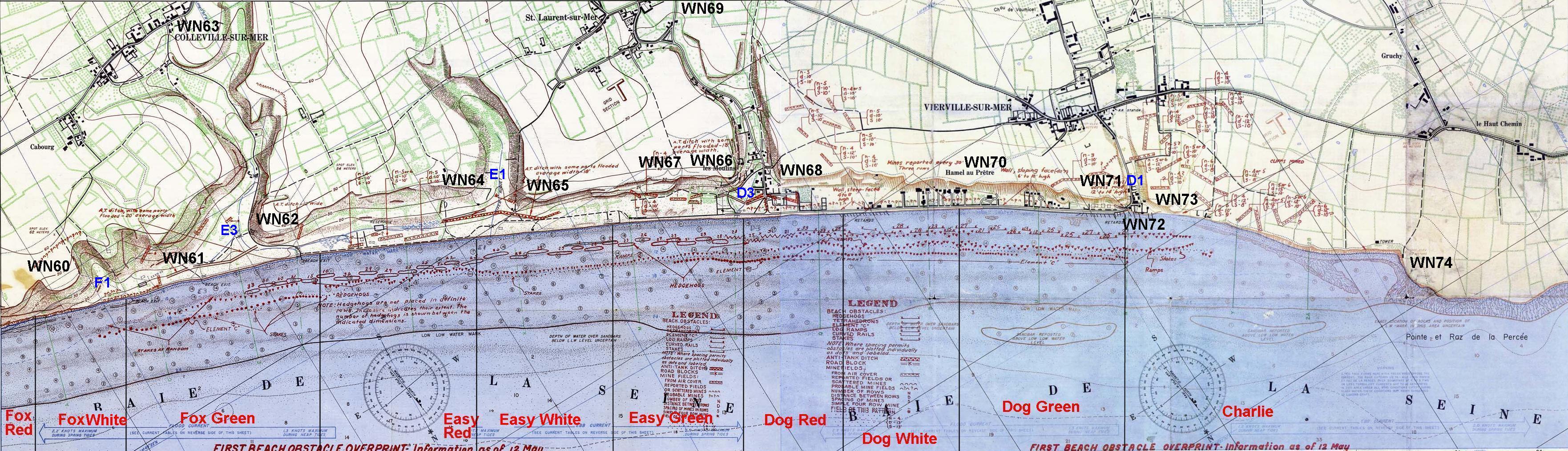
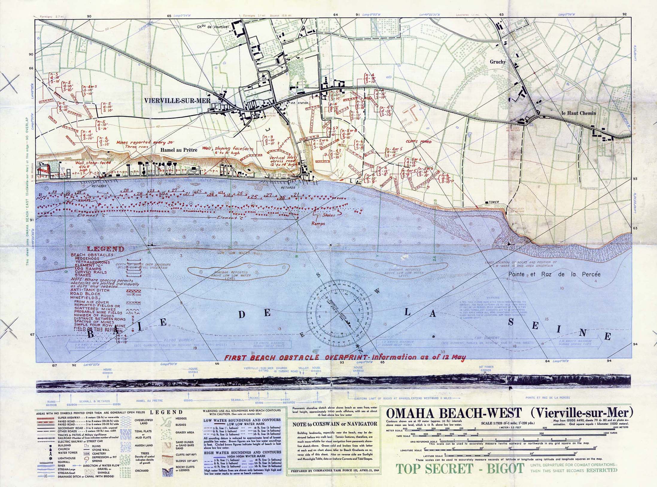
The 2 most detailed American maps, at 1/7.920

Omaha Beach East - 12 May 44

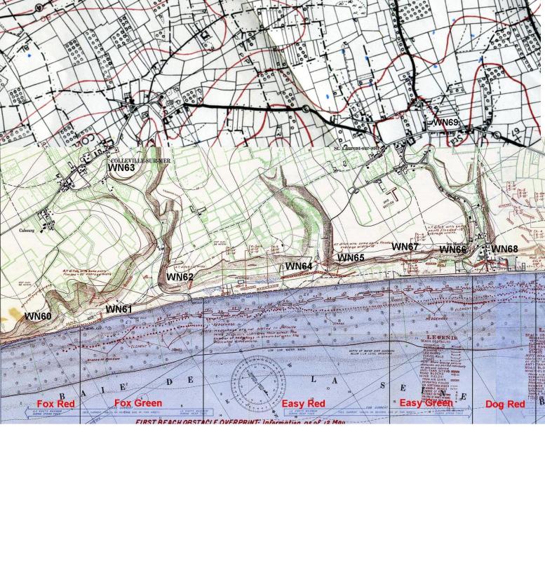
Sector East

Omaha Beach West - 12 May 44


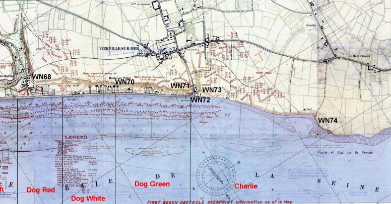

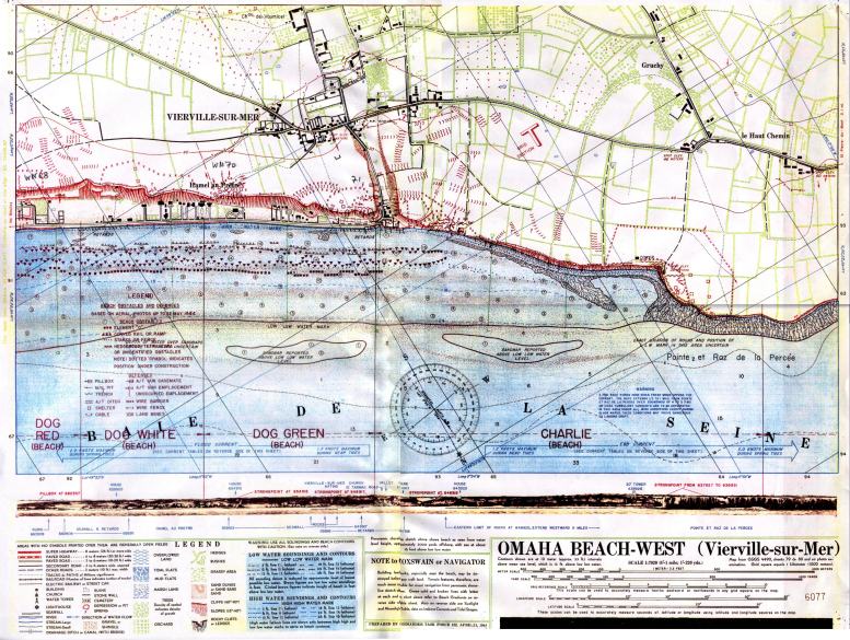

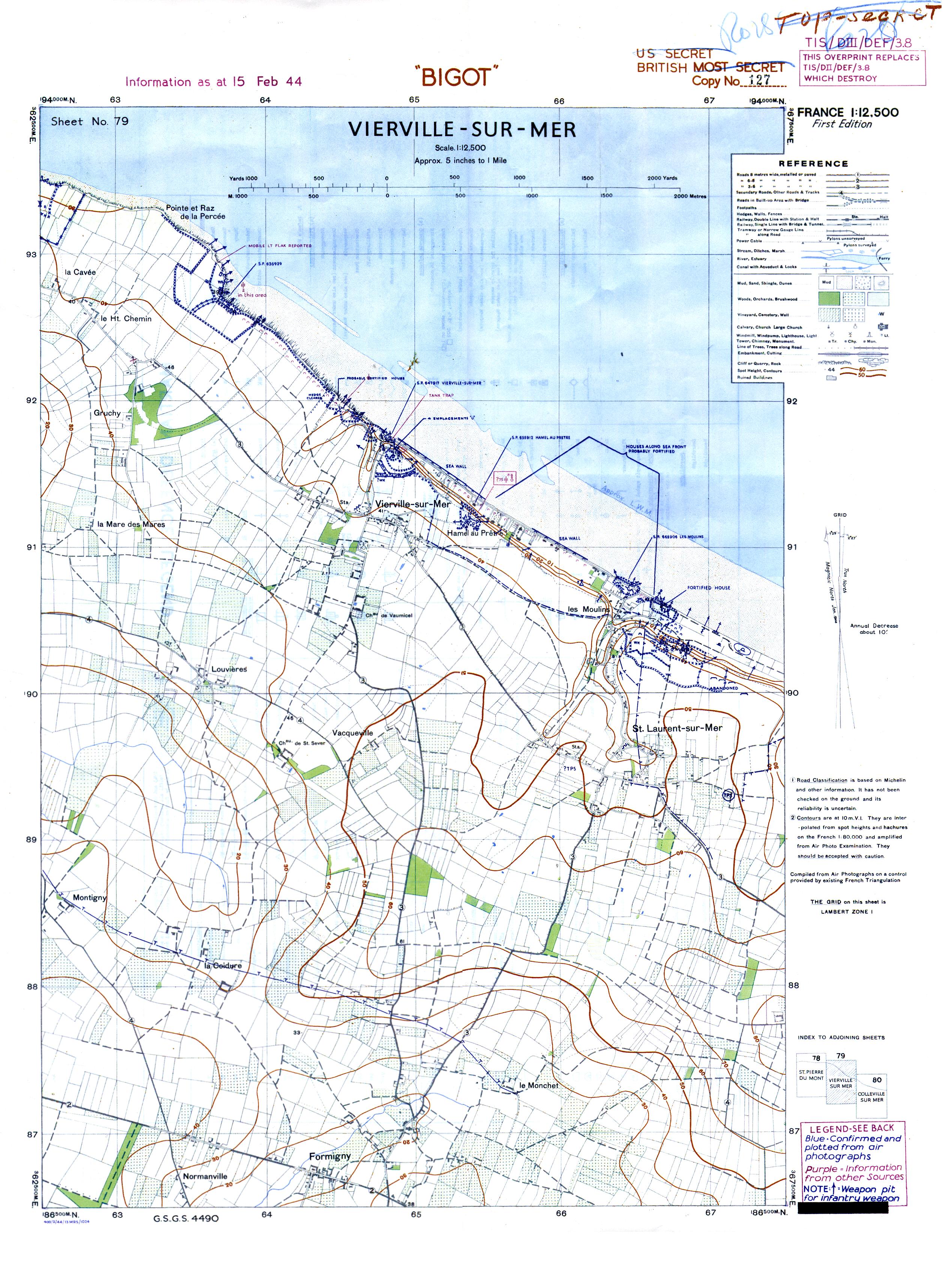
American cards at 1/12.500 Omaha Beach


The 8 coastal maps concerning Omaha Beach, at 12,500th,
May 1944 editions
Illustration not available in the transmitted fund.
75 - Brevands
Illustration not available in the transmitted fund.
78 - Saint-Pierre-du-Mont
Illustration not available in the transmitted fund.
81 - Port-en-Bessin
Illustration not available in the transmitted fund.
76 - Isigny
Illustration not available in the transmitted fund.
79 - Vierville
Illustration not available in the transmitted fund.
82 - Arromanches
Illustration not available in the transmitted fund.
77 - Grandcamp
Illustration not available in the transmitted fund.
80 - Colleville
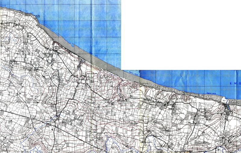
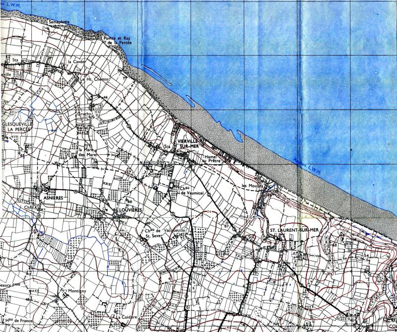
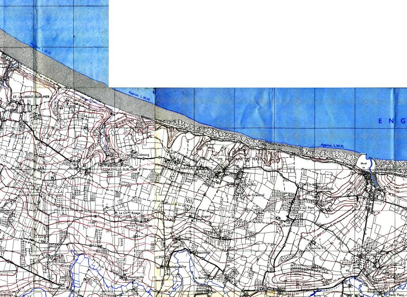
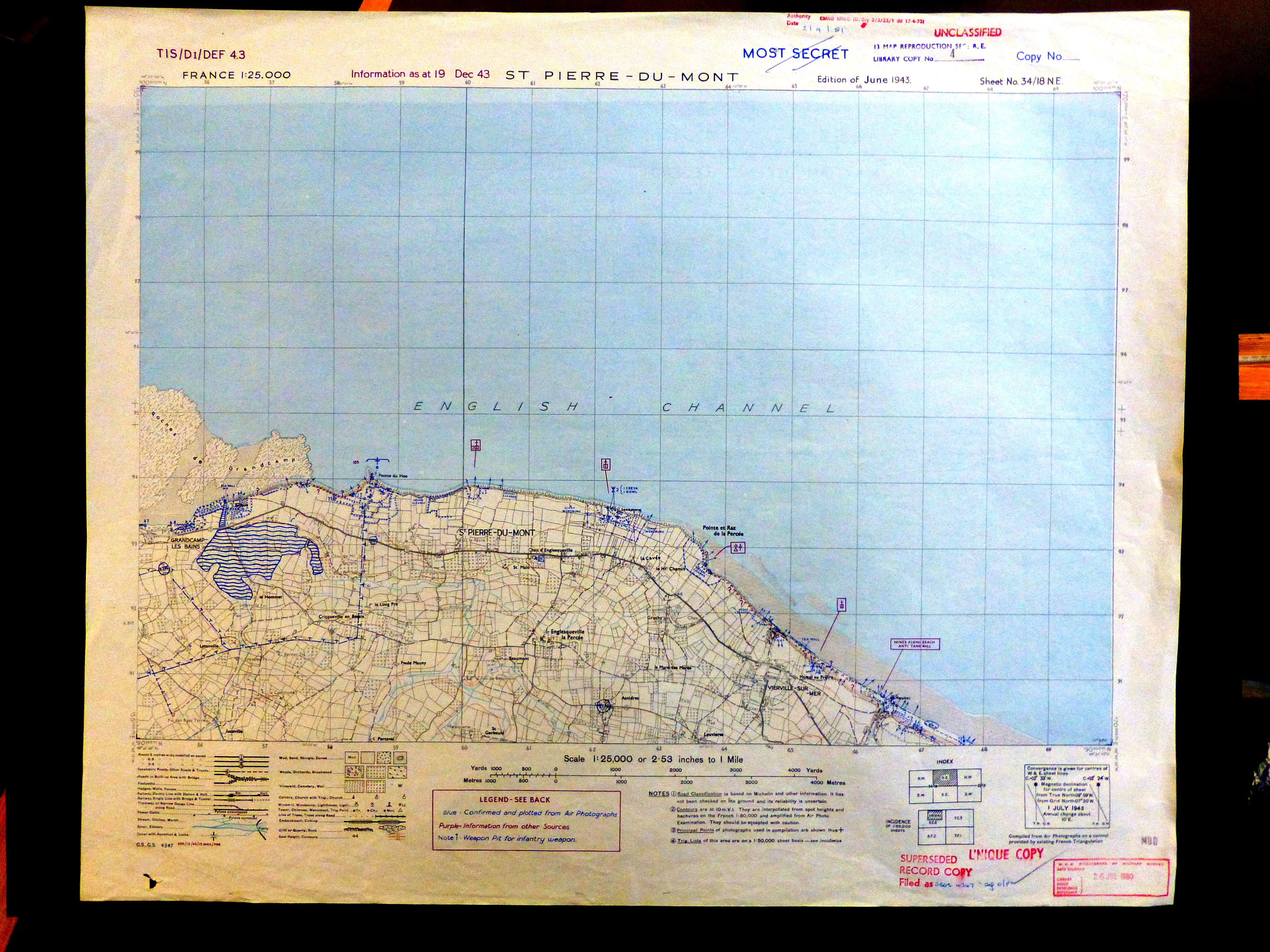
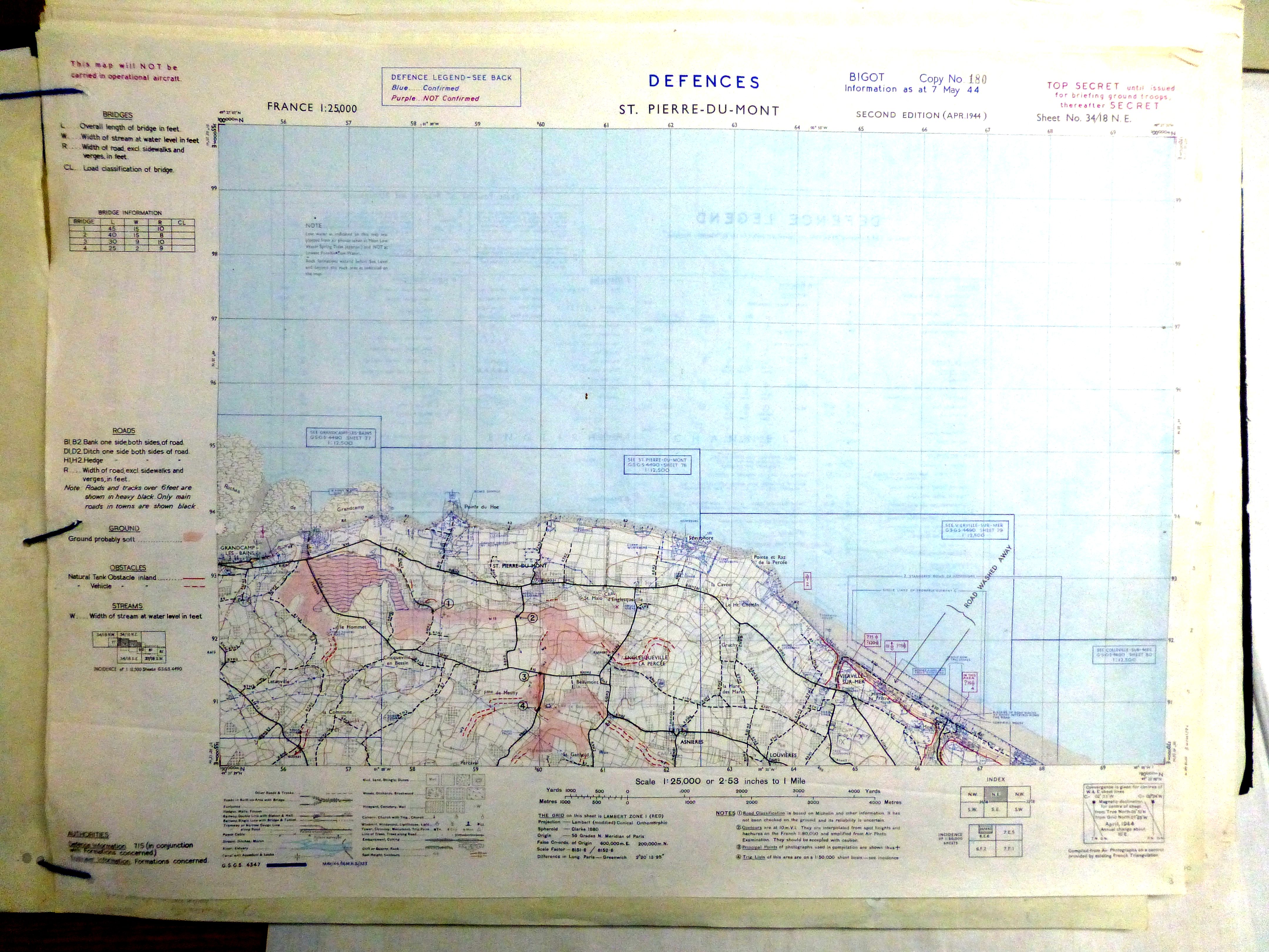
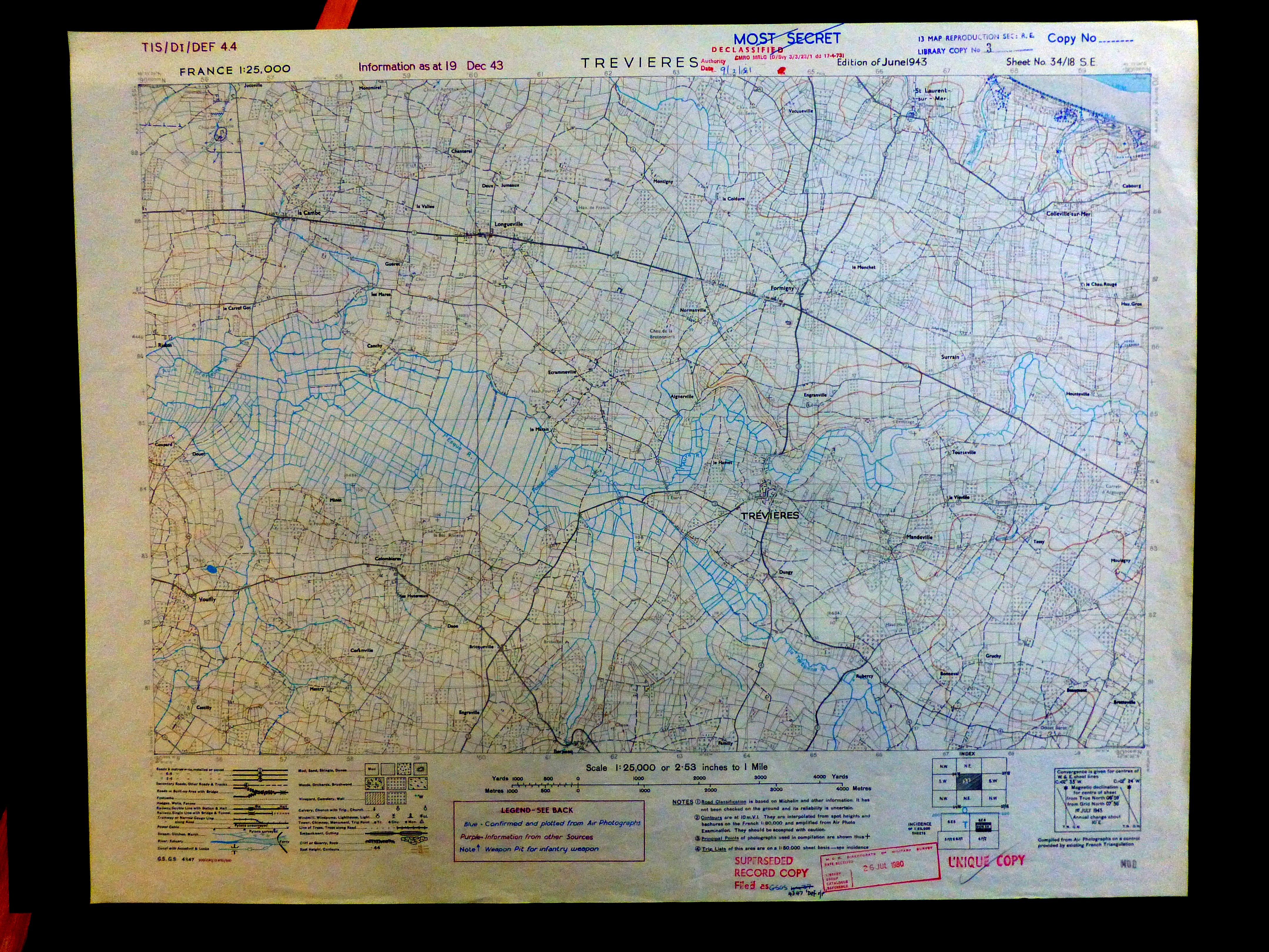
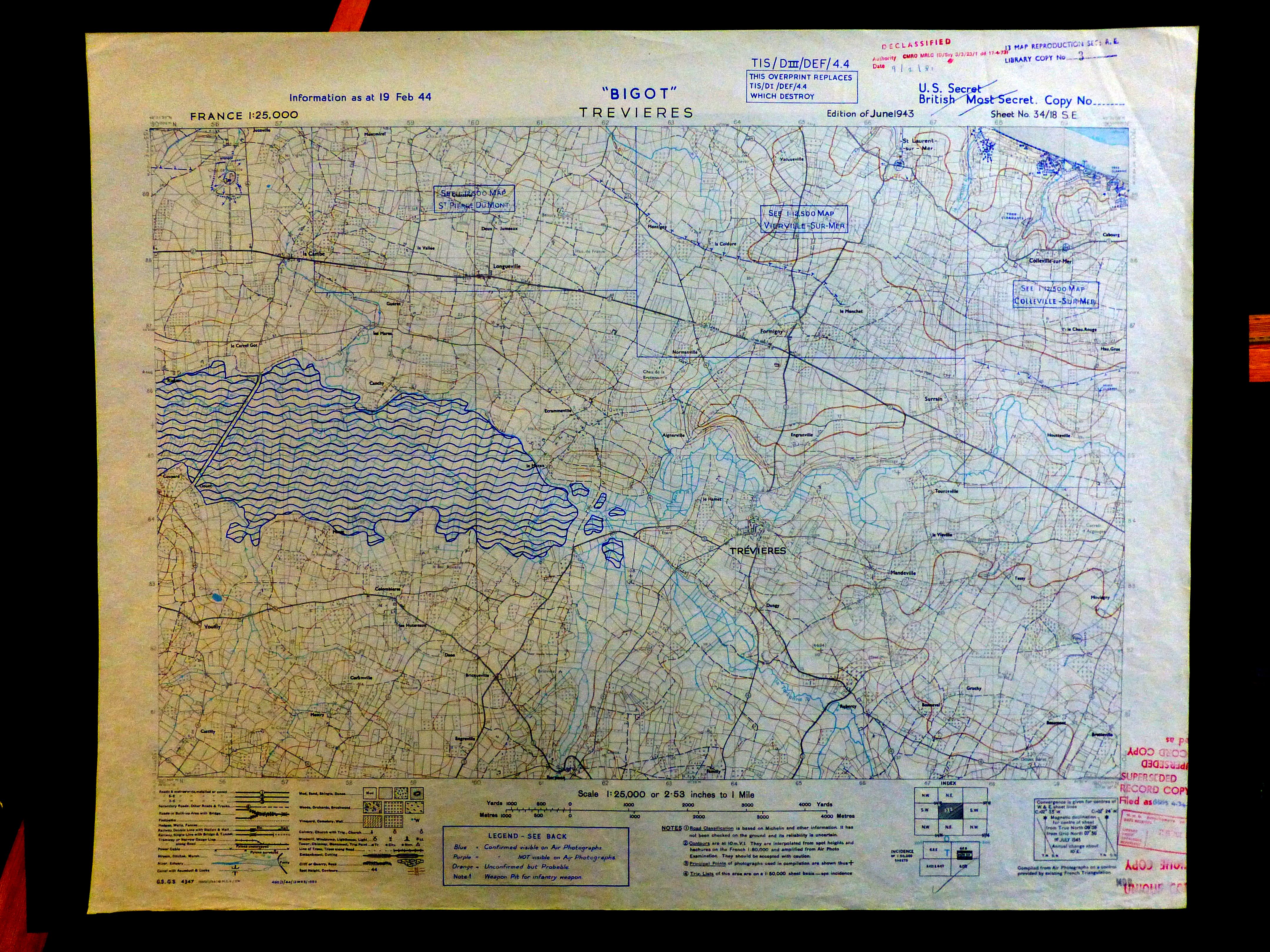
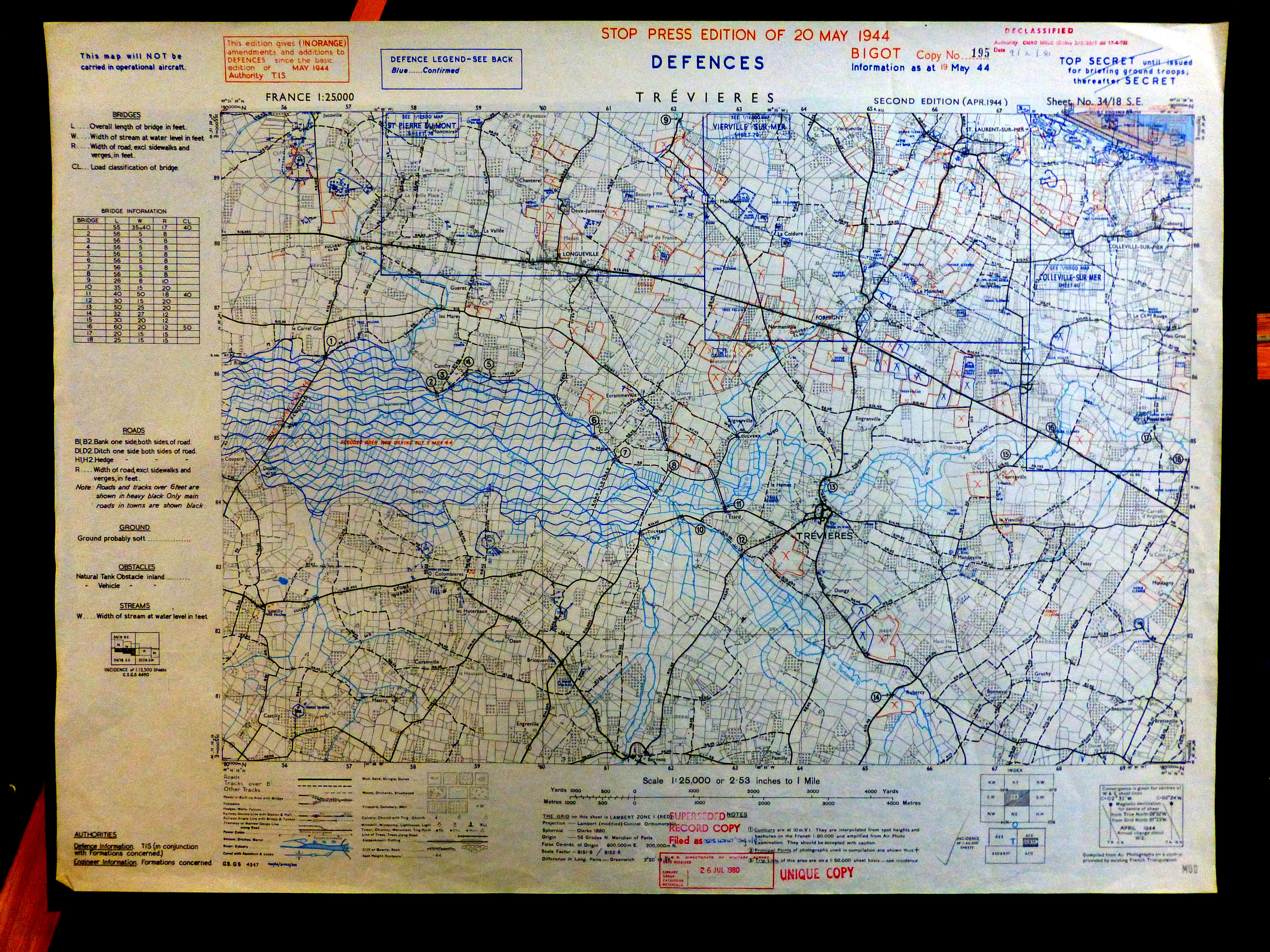
The maps of the region at 1/25,000,

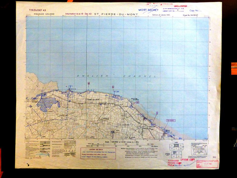
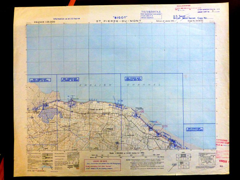
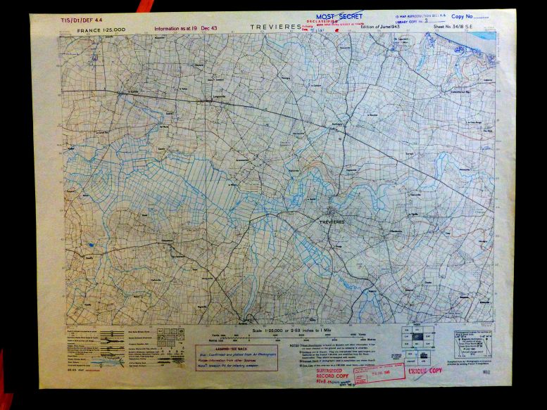
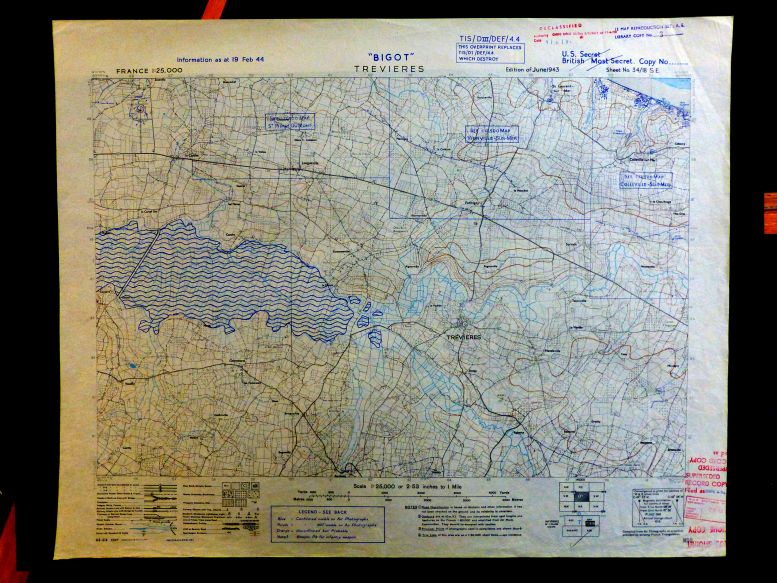
The maps of the region drawn up by the Allies in 1943, at 1/25,000th in color and with level curves.
They included the track of the small train (60 cm wide) from Littry to Trévières, St-Laurent, Vierville and Grandcamp. This route had in fact been removed in the early 1930s but was indicated on all available French maps
The American map at 1/25000 was very detailed, indicating in particular all hedges. It covered at least the departments of Calvados and La Manche.
Many editions were supplemented by German defences records obtained by any means, but often erroneous or unpopulated
Below you will find the 14 editions found for Trevières, Ryes, and St-Pierre-du-Mont


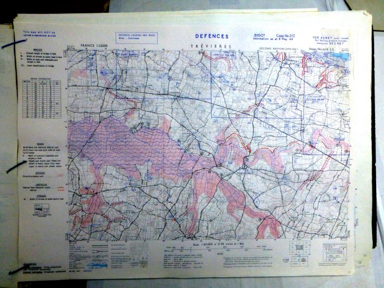
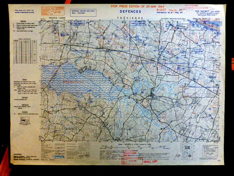
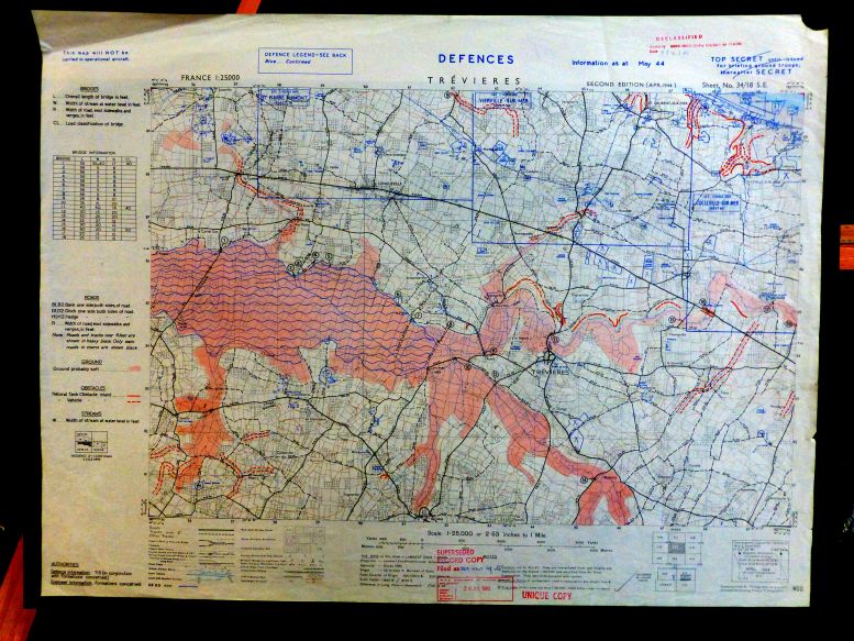


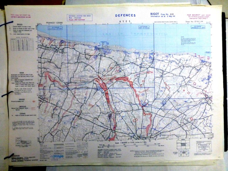











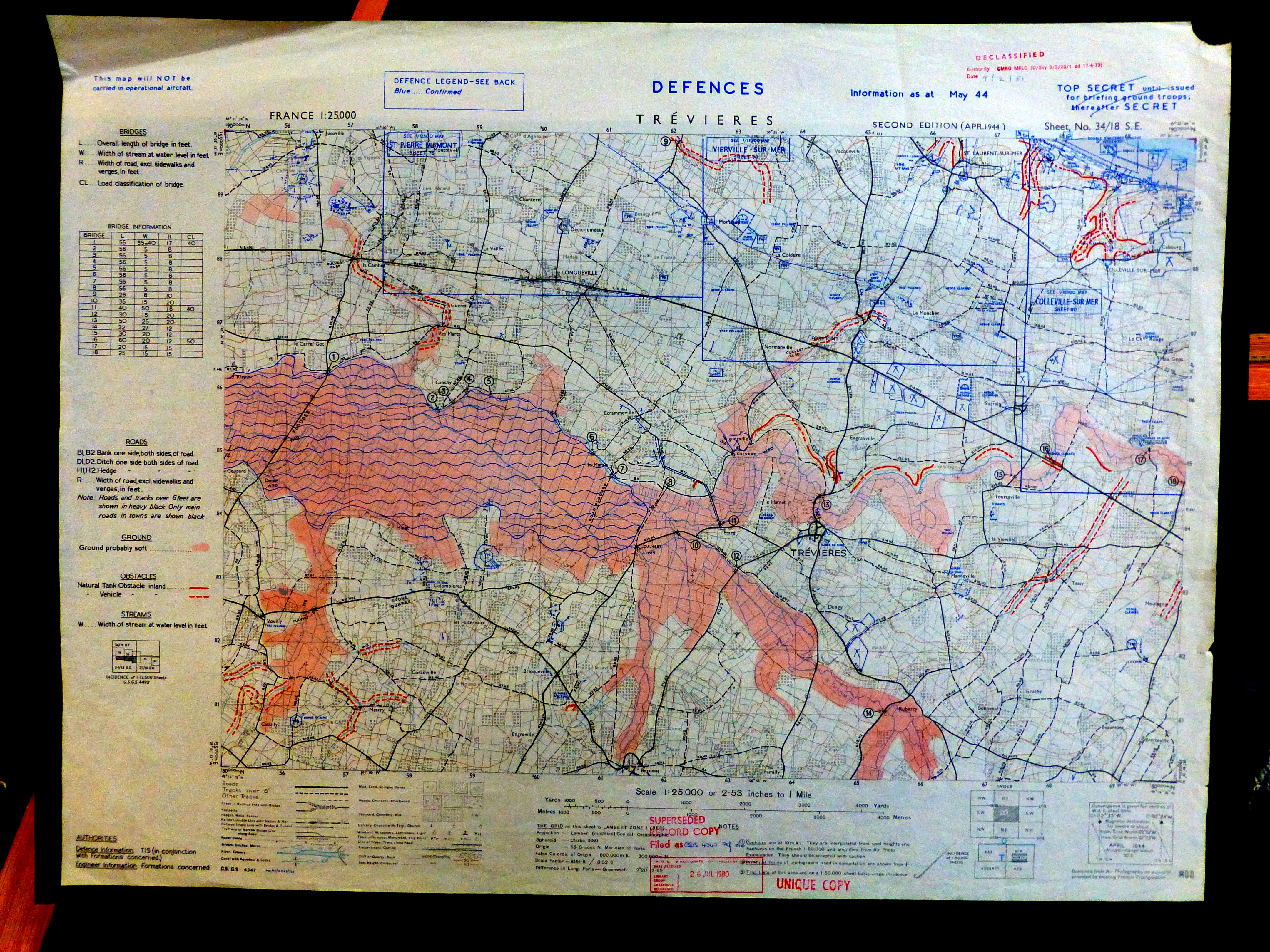


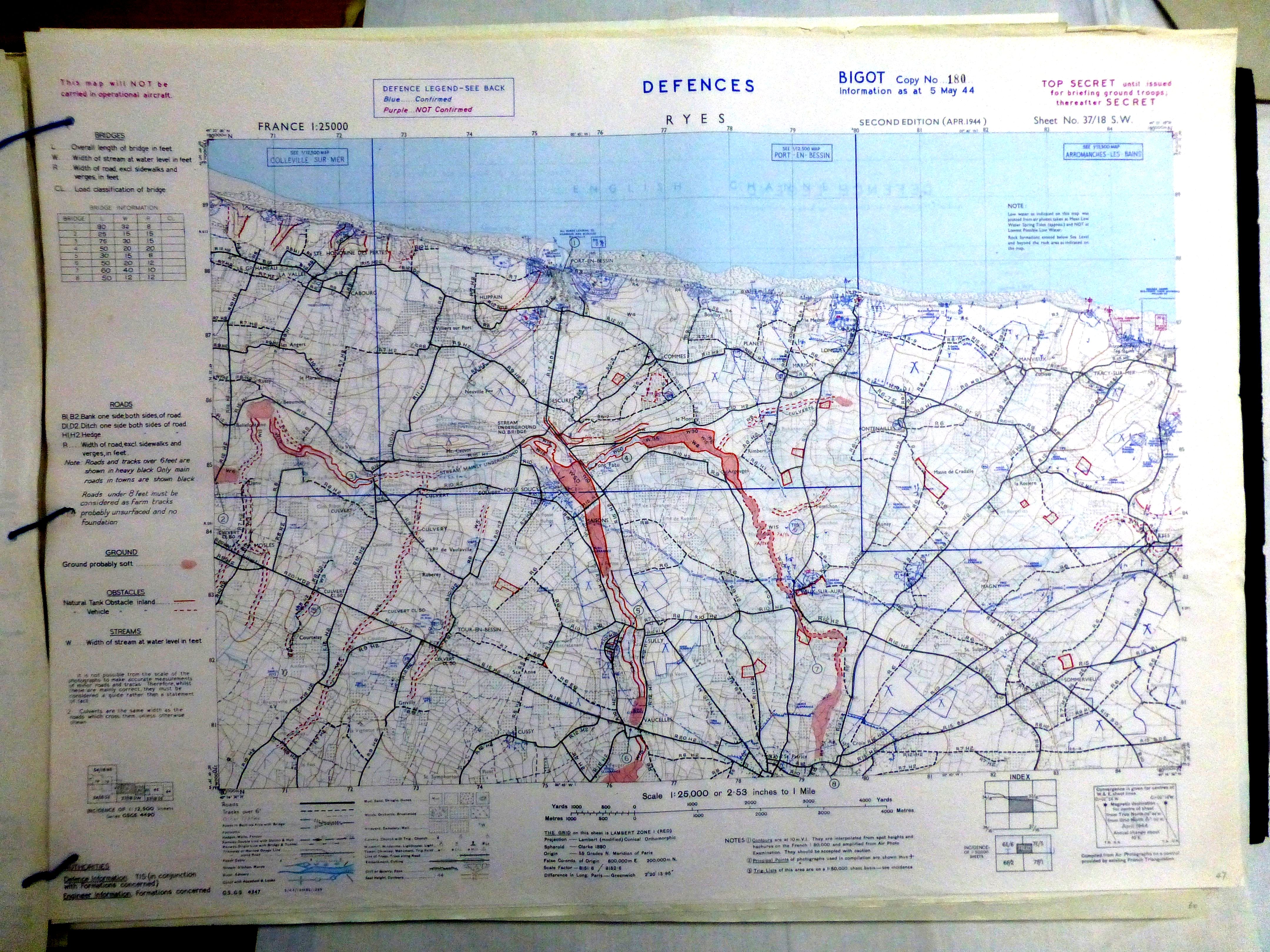
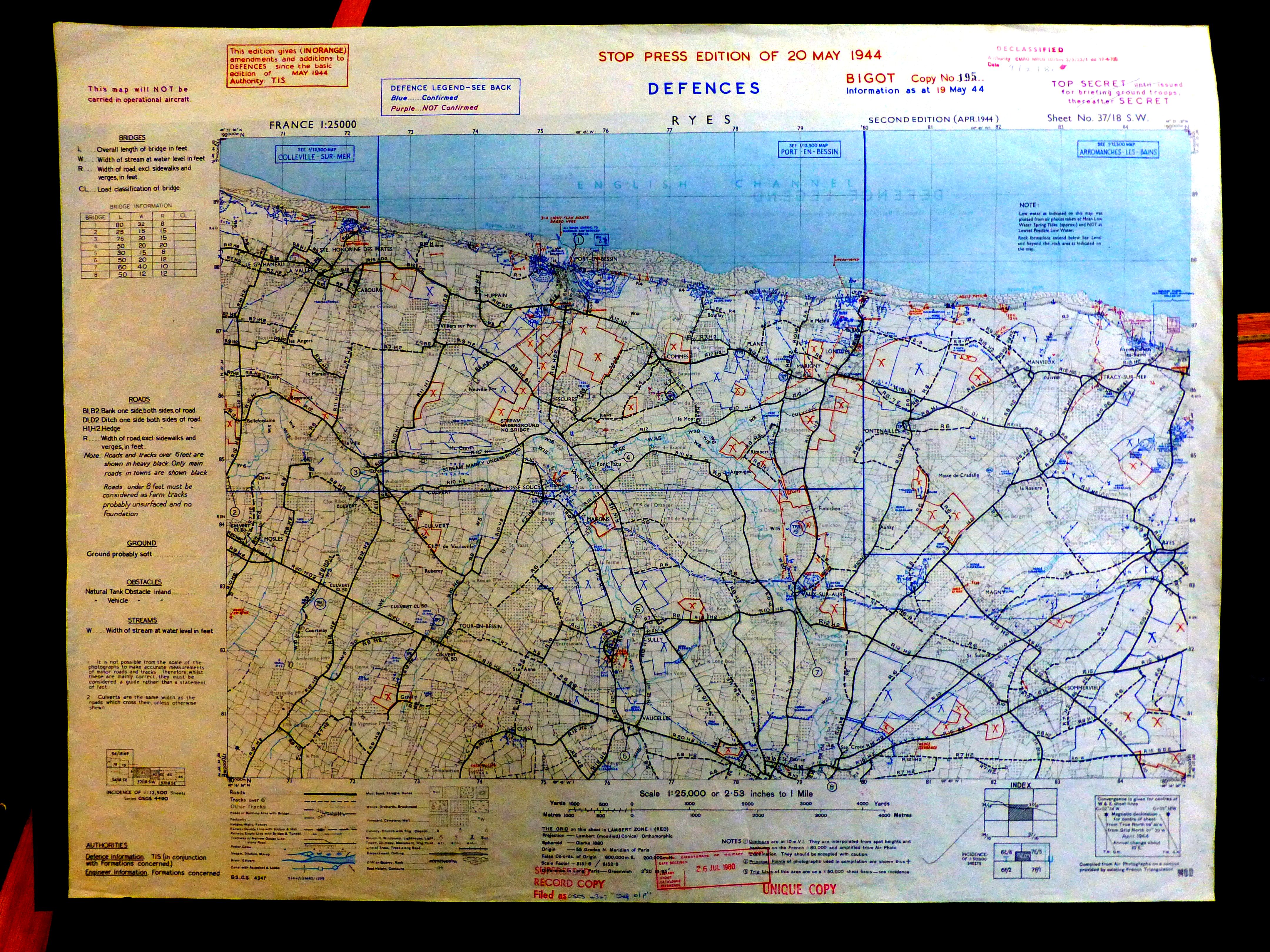

The only French map existing in 1939, at the 1/50.000th
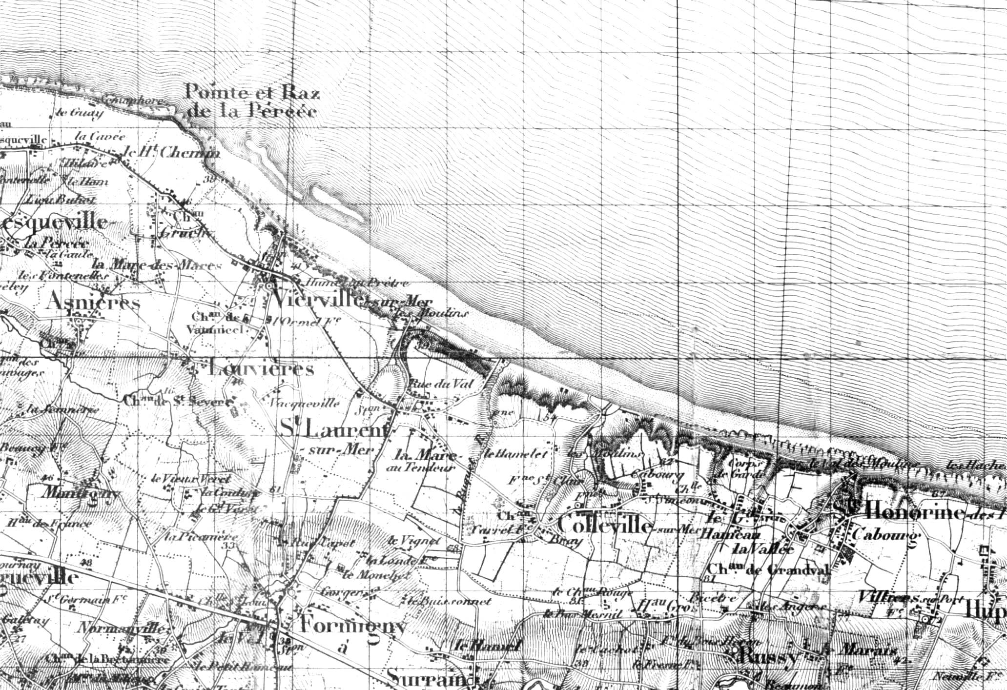


The maps of the region drawn up by the Allies in 1943, at 1/50.000th, are in colour and with level curves.
They included the track of the small train (60 cm wide) from Littry to Trévières, St-Laurent, Vierville and Grandcamp. This track had in fact been removed in 1932 but was indicated on all available French maps
The American card at 1/50.000 color
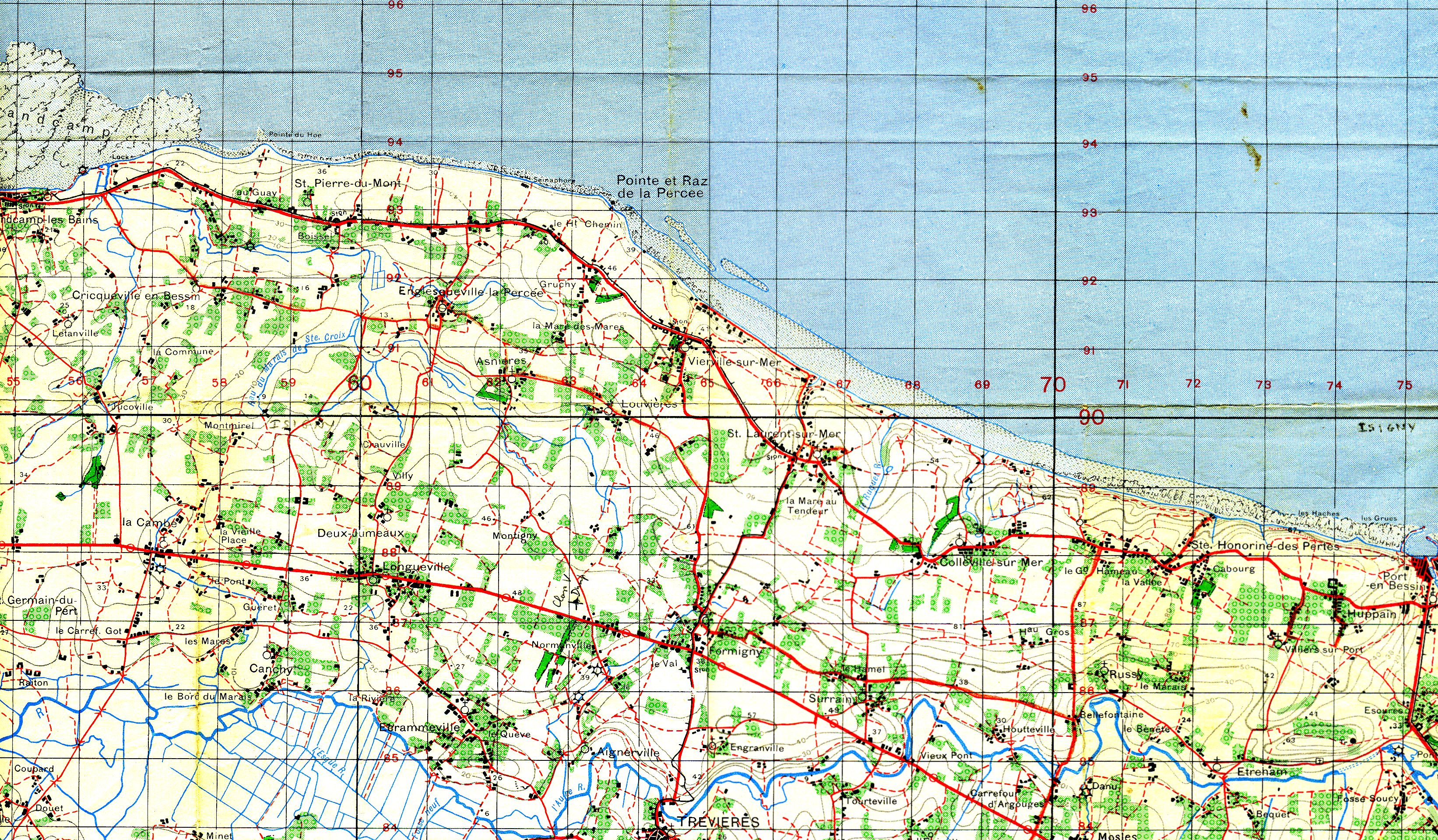


American cards at 1/200.000
For the record, the Allies reproduced the Michelin maps at 1/200.000 for their military needs, changing them slightly..
The first US study maps at 7.920th
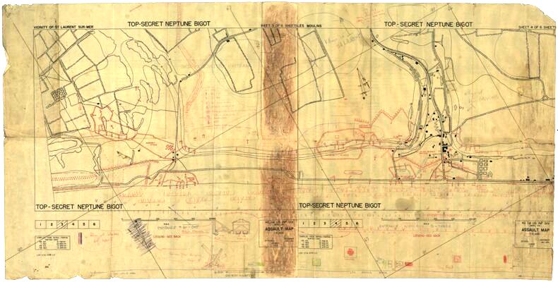
This map is one of the initial copies, developed with the help of aerial photographs taken in February, March, April and May 1944 between Le Ruquet and St-Laurent-sur-Mer. These recognitions provided the 2nd Bureau with the opportunity to clarify German defensive positions. The copy was handed over to Captain RT Napior, whose name is handwritten on the back. Originally there were 6 leaves covering the entire Omaha Beach. Here we see leaves 3 and 4, covering Le Ruquet and St-Laurent.


Legends of the main weapons
The map clearly shows the Easy Red beach area and the E1 beach exit.
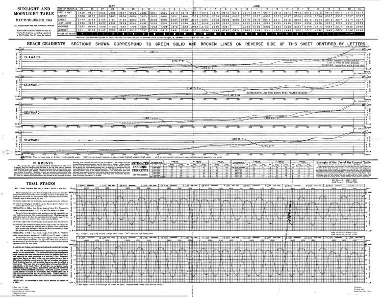
The map is printed on both sides, the back with detailed legends of the defenses.
Legends on the back of the map

The legends of the defenses (on the front)